The Elements of Innovation Discovered

White House funds critical minerals search

30 states to receive $74.6M under the USGS Earth MRI program Metal Tech News – June 22, 2022
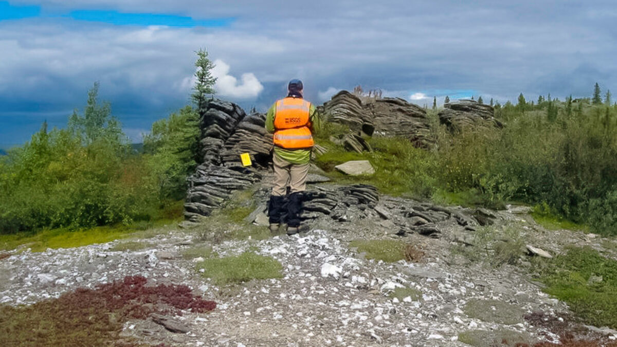
The U.S. Department of the Interior is distributing more than $74.6 million to 30 states for critical minerals investigations under the U.S. Geological Survey Earth Mapping Resources Initiative, or Earth MRI.

These investments, which include $64 million in funding from the Bipartisan Infrastructure Law, aim to help improve the understanding of domestic critical mineral resources, a key to securing a reliable, domestic, and sustainable supply of minerals and metals critical to everything from household appliances and electronics to clean energy technologies like batteries and wind turbines.

"President Biden's Bipartisan Infrastructure Law makes historic investments to support scientific research, data mapping and preservation," said Secretary of the Interior Deb Haaland. "In order to make data driven decisions based on the best available science, we need to equip our premier science agencies with the resources they need. The funding we are announcing today and the partnerships it will foster will help us research and preserve vital scientific data."

Under Earth MRI, USGS has partnered with the Association of American State Geologists and state geological surveys to jointly fund and conduct new geologic mapping, geochemical reconnaissance sampling, and the preservation of existing geologic data and samples.

"Merging federal resources with local knowledge of the state surveys creates an efficient and thorough venue to quickly further national understanding of the distribution of our resources," said Erin Campbell, president of the Association of American State Geologists. "We at the state geologic surveys truly value our partnership with the USGS."

The focus of fiscal year 2022 funding includes improving the nation's mapping of shallow and deep geology. This will lead to better scientific understanding of critical mineral resources – including minerals still in the ground and those found in mine waste materials.

By improving this science, the Interior Department says the U.S. can better ensure that domestic mining provides the minerals needed for a clean energy revolution while being conducted with strong environmental, social, and governances (ESG) standards, including tribal consultation and community engagement standards so that the American people can have confidence that the minerals and materials they use are responsibly sourced, and our resources are stewarded wisely.

Programs to be carried out under the funding include:

National Cooperative Geologic Mapping Program: New maps created by state geological surveys under this program will refine understanding of the geologic framework of mineral areas of interest. In addition to helping identify mineral potential, these maps also support decisions about use of land, water, energy and minerals, and the potential impact of geologic hazards on communities.

National Geological and Geophysical Data Preservation Program: Earth MRI will partner with state agencies to support the preservation of physical geological samples that would be costly or difficult to replace.

USGS 3D Elevation Program (3DEP): This program collects modern elevation data with lidar surveys flown by private sector mapping services contractors to fill data gaps in the nation's topographic mapping in areas with potential for critical mineral resources. Lidar, a laser-based scanning of terrain to create high-resolution digital elevation models, helps scientists develop accurate maps that depict the geology exposed at the surface and extrapolate the extent of the rock formations at depth. Lidar data also can help define the location and volume of mine waste materials exposed on the land surface.

Mineral Resources Program: This federal program will work with state geological surveys to conduct geochemical reconnaissance surveys that will provide initial information on under-studied geologic settings, which will be used to plan and prioritize future data collection and mapping. This program will also design airborne geophysical surveys that will be flown by private sector airborne geophysical survey contractors in areas with critical mineral potential. Airborne magnetic data collected from such surveys indicate the relative amount of magnetic minerals in exposed and deeply buried rocks; radiometric data indicate the relative amounts of potassium, uranium and thorium in exposed rocks and soils; and electromagnetic surveys provide information on concealed minerals and groundwater resources. This information allows scientists to identify likely locations of rocks and geologic structures associated with critical minerals, geothermal energy, groundwater, and potential earthquake hazards in the region.

The Earth MRI funding is part of a broader $510.7 million investment in USGS from the Bipartisan Infrastructure Law.

"These historic investments will modernize our mapping of the United States," said Sarah Ryker, USGS associate director for energy and mineral resources. "The USGS and the state geological surveys collaborated to prioritize areas where new geoscience data will yield new understanding of the potential for sustainable mineral production and mine waste reprocessing and remediation, along with geothermal resources, groundwater and earthquake hazards."

Author Bio

Shane Lasley, Metal Tech News

Author photo

With more than 16 years of covering mining, Shane is renowned for his insights and and in-depth analysis of mining, mineral exploration and technology metals.


Reader Comments(0)